
North Carolina Maps Collection
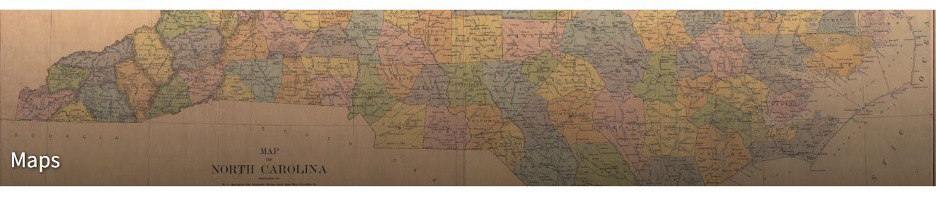
The State Archives of North Carolina houses one of the nation's most extensive collections of maps depicting North Carolina and its regions. This collection features over 6,000 maps, including manuscript, published, photographic, and facsimile copies sourced from various origins. Many of these maps have been digitized and are accessible online through North Carolina Maps, providing invaluable resources for research, education, and preservation efforts.
North Carolina Maps encompasses maps from the late 1500s through the 1960s, covering each of North Carolina's 100 counties. This digital project is supported by a Library Services and Technology Act grant, ensuring broad access to these historic resources.
Map of North Carolina
Contact Us
Address: Special Collections at Jay Conison Library, 109 E Jones St, Raleigh, NC 27601
Phone: (980) 529-3040